
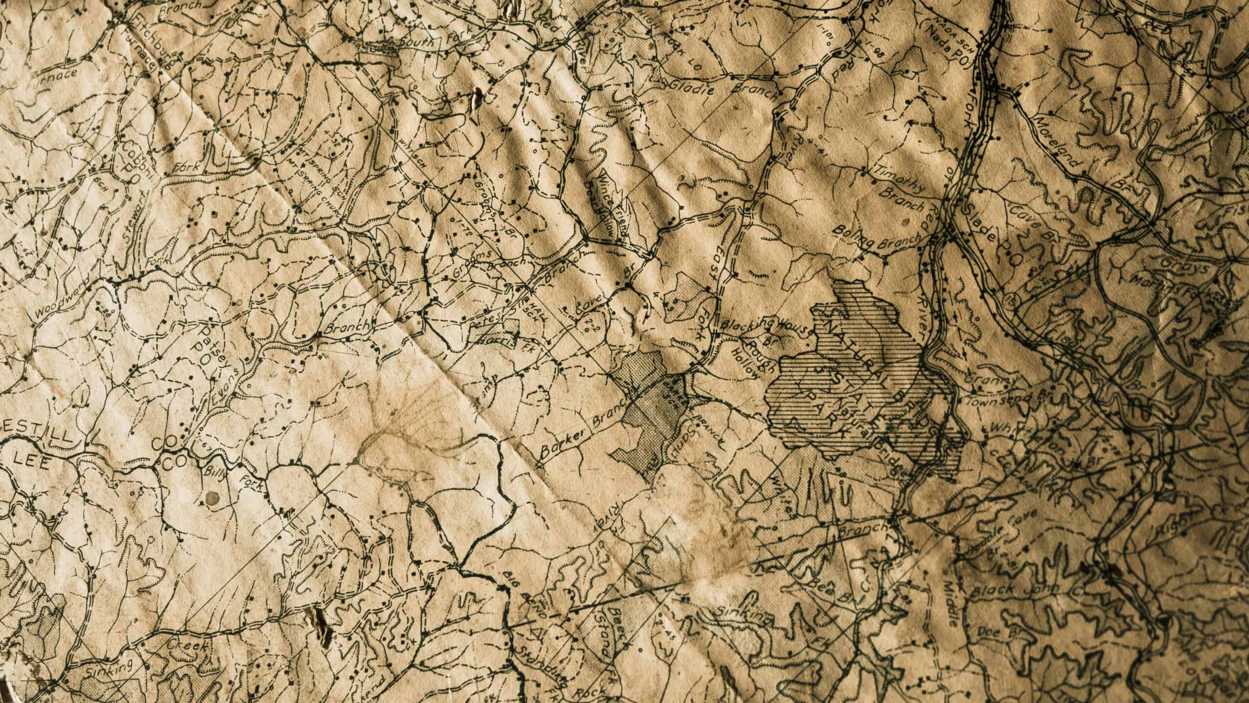
A topographic map is an ordinary map with one addition: thin brown lines showing elevation. Learn to read those and the rest follows, because everything people find hard about topo maps comes from not knowing what the contours are saying.
The core idea is simple. Every point on a single contour line sits at the same elevation, and the spacing between lines tells you how steeply the ground rises. Close together means steep, far apart means gentle. Our roundup of map cases and holders covers keeping one usable in the field.
Quick Answer
Contour lines connect points of equal elevation. Tight spacing is steep ground, wide spacing is flat. Contours forming a V point uphill in a valley and downhill on a ridge, which is the rule that separates the two.
Key Points
- Line spacing is the single most useful signal on the map.
- Contour interval is printed in the legend and varies by map.
- Index contours are the thicker labeled lines.
- V shapes point uphill in valleys, downhill on ridges.
- Closed circles are summits, unless hatched inward.
What a Contour Line Is
Every point along one contour sits at the same height above sea level. Walk the line exactly and you neither climb nor descend.
The vertical distance between adjacent lines is the contour interval, printed in the map legend. On many maps it is forty feet or twenty meters, and it changes between maps and sometimes between series, so checking rather than assuming matters.
Index contours are drawn thicker and carry the elevation figure printed along them, usually every fifth line. Counting up or down from an index contour is how you work out the height of anything sitting between them.
Spacing Tells You Steepness
Lines packed tightly mean the ground rises quickly over a short horizontal distance. Lines spread widely mean gentle terrain.
That is the fastest read available on any topo map and the one worth learning first. A single glance at line density tells you whether a route is a walk or a climb, before you measure a single distance or work out an elevation.
Lines that appear to merge indicate a cliff, since the ground rises vertically and the contours have nowhere to separate. Our roundup of trekking poles covers gear for steep ground.
Reading Terrain Shapes
Valleys and gullies
Contours form a V or U that points uphill, toward higher ground. Streams sit in the bottom of these, which is the most useful cross-check available when you are unsure which way the ground falls.
Ridges and spurs
Contours form a V or U pointing downhill, away from high ground. Ridges are frequently the easiest walking route because they shed water, stay drier underfoot, and avoid the dense vegetation that fills valley bottoms.
Summits
Concentric closed circles getting progressively smaller toward the middle. The innermost ring is the summit, and its elevation is often printed alongside a spot height.
Depressions
Also closed circles, distinguished only by small tick marks pointing inward. Missing those is a classic mistake that turns a hollow into a hill on your mental picture of the route.
The V Rule Is What People Get Backwards
Valleys and ridges both produce V shapes and they point opposite ways, which is the single most common confusion for people learning topo maps.
In a valley the V points toward higher elevation, because the low ground cuts back into the hillside. On a ridge the V points toward lower elevation, because the high ground extends outward.
The reliable cross-check is water. Streams run in valleys, so if a blue line follows the V, you are looking at a valley regardless of what your instinct says.
Our guide to reading water covers a related skill.
Scale and Distance
Map scale expresses the ratio between map distance and ground distance. A 1:24,000 map means one inch on the map is 24,000 inches on the ground, which works out to two thousand feet.
Larger scale maps show more detail over less area. A 1:24,000 sheet shows individual buildings and small streams, while a 1:100,000 sheet covers a whole region and omits most of that detail to fit it on the page.
Measuring distance on a topo map underestimates the walking distance on steep ground, because the map shows horizontal distance and you also climb. That difference is small on gentle terrain and significant on a steep ascent.
You can plan the day against available daylight before deciding.
Our note on hiking watches covers turning distance into time.
Colors and Symbols
Brown
Contour lines and elevation features. The topographic layer itself.
Blue
Water: streams, lakes, marshes, and glaciers. Dashed blue usually means seasonal or intermittent, which matters if you were counting on it as a water source.
Green
Vegetation, typically forest cover. White areas are open ground, which is not the same as easy ground and can mean scree, marsh, or bare rock.
Black and red
Constructed features of all kinds. Roads, trails, buildings, and administrative boundaries. Red usually marks the major roads and the survey grid lines.
Using It With a Compass
A map alone tells you what the terrain does. A map plus a compass tells you where you are in it, and the two are considerably more useful together than either is alone.
Start by orienting the map so its north matches the compass, which puts features on the paper in the same directions as the features around you. That single step makes the map readable at a glance rather than requiring mental rotation.
Magnetic declination is the correction between true north on the map and magnetic north on the compass, and it varies by location and changes slowly over years. Maps print the local value, and ignoring it introduces an error that grows with distance.
Taking a bearing to a visible landmark and finding where that line crosses your route is how you fix a position without any electronics at all. Our roundup of handheld GPS units covers the electronic version.
Practice Before You Need It
Read the map for terrain you already know before relying on it somewhere unfamiliar. Comparing what the contours say against a hillside you can actually see in front of you is the fastest way to build the instinct, because the feedback is immediate.
On a walk, try predicting what comes next from the map and then checking. Getting it wrong somewhere safe is how the skill develops.
Paper maps also do not run out of battery, which is the argument for carrying one even in a phone-first world. Our note on compasses for hiking covers using it properly.
Topographic Map FAQ
What do contour lines actually show?
Points of equal elevation. Every location along a single line is at the same height, so following one exactly means neither climbing nor descending. The vertical gap between lines is the contour interval, printed in the legend.
How do I tell steep ground from flat?
Line spacing. Tightly packed contours mean the ground rises sharply over a short distance, and widely spaced lines mean gentle terrain. Lines that appear to merge indicate a cliff.
Which way does the V point?
Uphill in a valley and downhill on a ridge. This is the most common confusion, and the cross-check is water, since streams run in valleys. A blue line following the V confirms it.
What are the thicker lines?
Index contours, usually every fifth line, and they carry the elevation figure. Counting from an index contour is how you determine the height of anything in between.
How do I know the contour interval?
It is printed in the map legend and varies between maps and series. Assuming a familiar interval on an unfamiliar map is a genuine way to misjudge terrain badly.
What do the circles with tick marks mean?
A depression rather than a summit. The ticks point inward, downhill into the hollow. Missing them turns a hole in the ground into a hill on your mental map.
Does map distance equal walking distance?
No, because the map shows horizontal distance while you also climb. On gentle ground the difference is negligible, and on a steep ascent the actual walking distance is meaningfully longer.
Is a paper map still worth carrying?
It works without power, without signal, and in cold that flattens batteries. Most experienced hikers carry both, using a phone for convenience and paper as the thing that cannot fail.
Recommended Reading
See our note on offline map apps, and navigating without gps.
