
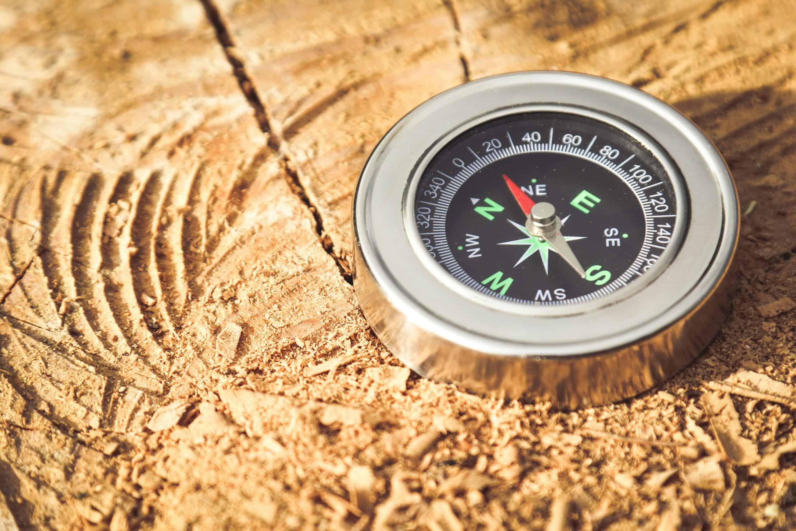
Phones and handheld units fail in ways that are entirely predictable. Batteries drain faster in cold, screens become unreadable in rain, a device gets dropped, and satellite reception disappears in a canyon or under heavy tree cover. None of that is unusual and all of it happens on ordinary hikes.
Map and compass work without any of those dependencies, which is why they remain standard equipment rather than nostalgia. Our roundup of compasses for hiking covers the hardware.
A Safety Note
This covers navigation basics, not a substitute for training. Navigation errors in remote terrain have serious consequences, and practicing on familiar ground before relying on these methods somewhere unfamiliar is the difference between a skill and a theory. Always tell someone your route and expected return time. Knowing how long a leg should take is part of navigating, and our hiking time calculator estimates it from distance and gain.
Quick Answer
Orient the map to match the ground, identify your position from visible features, and take bearings to travel between known points. Carry a map and compass regardless of what electronics you have, because they fail differently.
Orienting the Map
The first step and the one that makes everything else easier. Turn the map until its north matches actual north, so features on the paper sit in the same directions as the features around you.
With a compass, place it on the map, align the needle with the map’s north, and rotate both together until they match. Adjust for magnetic declination, which is the difference between true north on the map and magnetic north on the needle.
Without a compass, you can orient by matching visible landmarks to the map. Line up two identifiable features and the map is oriented. Our guide to hiking watches covers the map side.
Working Out Where You Are
Terrain association
Comparing what you see against what the map shows. A ridge to your left, a stream crossing ahead, a summit sitting at a particular angle. This is by far the most used method in practice and it needs no instruments at all.
Handrails
Following a linear feature that appears on the map: a stream, a ridge, a fence line, a trail. Handrails keep you located without constant checking.
Catching features
Something obvious you will hit if you go too far, like a river, a road, or a valley floor. Knowing your catching feature in advance means an error becomes recoverable rather than compounding into something serious.
Resection
Taking bearings to two or three identifiable landmarks and drawing them back on the map. Where the lines cross is your position, and this is the method that works when terrain association is not enough.
Taking and Following a Bearing
A bearing is a direction expressed in degrees. Point the compass’s direction-of-travel arrow at your target, rotate the housing until the needle sits in the orienting arrow, and read the number.
To follow it, keep the needle in the arrow and walk in the direction the travel arrow points. The instinct to watch the compass constantly is wrong, and picking a visible object on the bearing then walking to it is far more accurate.
Over distance, small errors compound. Aiming off deliberately, meaning aiming slightly to one side of a target on a linear feature, means you know which way to turn when you reach it.
Our roundup of handheld GPS units covers the electronic complement.
Declination Matters More Than People Expect
Magnetic north and true north are different, and the gap between them varies by location and shifts slowly over years. Maps print the local declination and the date it was measured.
Ignoring it produces an error that grows with distance. A few degrees over a short leg is nothing, and over several miles it puts you somewhere else entirely.
Many compasses have adjustable declination, which sets the correction once so you can read bearings off the map directly without any arithmetic. Compasses without it require adding or subtracting manually, and getting the direction of the correction backwards doubles the error rather than removing it.
Natural Navigation as a Backup
The sun rises roughly in the east and sets roughly in the west, with the exact position varying considerably by season and latitude. At solar noon it sits due south in the northern hemisphere.
An analog watch can give a rough direction. Point the hour hand at the sun and true south lies halfway between the hour hand and twelve, in the northern hemisphere.
At night, Polaris sits nearly above true north and can be found from the Big Dipper’s pointer stars. In the southern hemisphere the Southern Cross serves a similar purpose with more work.
None of these are precise, and all of them are enough to keep a general direction when nothing else is available. Moss growing on the north side of trees is not reliable and should not be used.
What to Practice Before You Need It
Orienting the map
Do it every time you look at the map, until it becomes automatic rather than a step you remember.
Estimating distance walked
Pace counting over a known distance tells you how many paces you take per hundred meters, which lets you estimate distance traveled without any instrument. The figure changes on steep ground, so it is worth knowing both.
Taking a bearing and walking it
Practice on open ground where you can see the target. The skill is in the walking rather than the reading.
Locating yourself deliberately
On a familiar walk, stop and work out your position from the map alone before checking. Our roundup of map cases covers keeping the map usable.
Carry Both
The argument for map and compass is not that electronics are unreliable in normal use. It is that they fail in specific conditions that also make navigation matter most: cold, wet, remote, and dark.
A phone with downloaded maps is genuinely useful and worth carrying on any hike. It is also a single point of failure with a finite battery, and treating it as the entire navigation plan rather than one part of it is the mistake that gets people into trouble.
Most experienced hikers carry both and use the phone for convenience, with the map and compass as the thing that cannot run out. Our roundup of portable solar chargers covers the digital side.
Navigation Without GPS FAQ
Do I really need a compass if I have a phone?
They fail differently, which is the point. Phones run out of battery, struggle in cold, and become unusable wet. A compass has no battery and works in any weather, which is why it remains standard equipment rather than a relic.
What is the first thing to do with a map?
Orient it so its north matches actual north. Features on the paper then sit in the same directions as the features around you, which removes the mental rotation that makes map reading hard.
What is magnetic declination?
The difference between true north on the map and magnetic north on your compass needle. It varies by location and changes slowly over years. Maps print the local figure, and ignoring it produces errors that grow with distance.
How do I find my position without GPS?
Terrain association is the everyday method: matching visible features against the map. Where that is not enough, resection means taking bearings to two or three known landmarks and finding where those lines cross on the map.
How accurate is following a bearing?
Accurate enough with practice, and small errors compound over distance. Picking a visible object on the bearing and walking to it beats staring at the compass, and aiming deliberately to one side of a target tells you which way to turn on arrival.
Can I navigate by the sun?
Roughly. It rises in the east and sets in the west, with the exact positions varying by season and latitude, and sits due south at solar noon in the northern hemisphere. Good enough for general direction, not for precision.
Does moss really grow on the north side?
Not reliably. Moss grows where conditions suit it, which depends on shade, moisture, and local terrain far more than on direction. It is one of the more persistent pieces of bad navigation folklore.
How much practice do I need?
Enough that the basics are automatic before you rely on them somewhere unfamiliar. Practicing on ground you already know, where mistakes cost nothing, is what turns instructions into an actual skill.
Recommended Reading
See our note on GPS mounts and lanyards, and offline map apps for hiking, and personal location beacons, and satellite messengers for backcountry use, and reading a topographic map, and what to do if you get lost.
